1. Geography
Tuyen Quang is 140km from Hanoi capital to the North, the East borders Bac Kan province, Thai Nguyen; the West borders Yen Bai province; the South borders Phu Tho and Vinh Phuc provinces; Ha Giang and Cao Bang in the North.
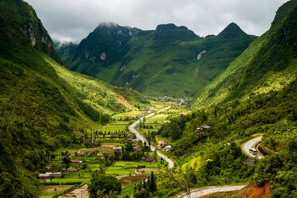
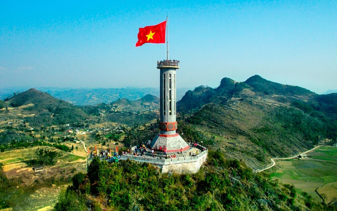
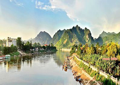
The province's topography consists of high mountains accounting for about 50% of the province's area, including the entire Na Hang district, Lam Binh, 06 highland communes of Chiem Hoa district (Phuc Son, Minh Quang, Phu Binh, Binh Phu and Yen Lap). Kien Dai) and 02 highland communes of Ham Yen district (Phu Luu, Yen Lam); lowland and midland accounts for about 50% of the province's area, including the remaining communes of the two districts of Chiem Hoa, Ham Yen and the districts of Yen Son, Son Duong and Tuyen Quang city. The highest point is Mount Cham Chu (Ham Yen) with an elevation of 1,587m above sea level.
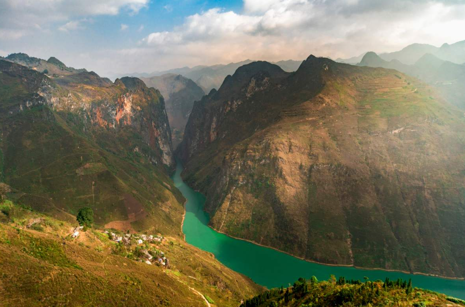
Important roads in the province are national highways 2 from Vinh Phuc, Phu Tho, Tuyen Quang and Ha Giang. The section running through the province is 90km long; Highway 37 from Thai Nguyen to Son Duong and Yen Son districts to Yen Bai; Highway 2C from Vinh Phuc to Tuyen Quang to the center of Na Hang district; Highway 279 from Bac Kan to Tuyen Quang to Ha Giang. The river system of the province consists of 500 rivers and streams. The main rivers are: Lo River, Gam River, Nang River (Ngang River), Pho Day River.
* Climate
- Average annual temperature of 220C - 240C
- The highest average temperature of 330C - 350C.
- The lowest average temperature from 120C - 130C.
- Average annual rainfall is from 1,500 to 1,700 mm.
Featuring tropical monsoon climate, influenced by the continental climate of North Asia China has two distinct seasons: cold winters - drought and hot, humid summers; rain and storm is concentrated from May to August; the coldest months are November and December (lunar calendar).
* Natural area: 5,867.90 km2
* Population: 760,289 people (2015)
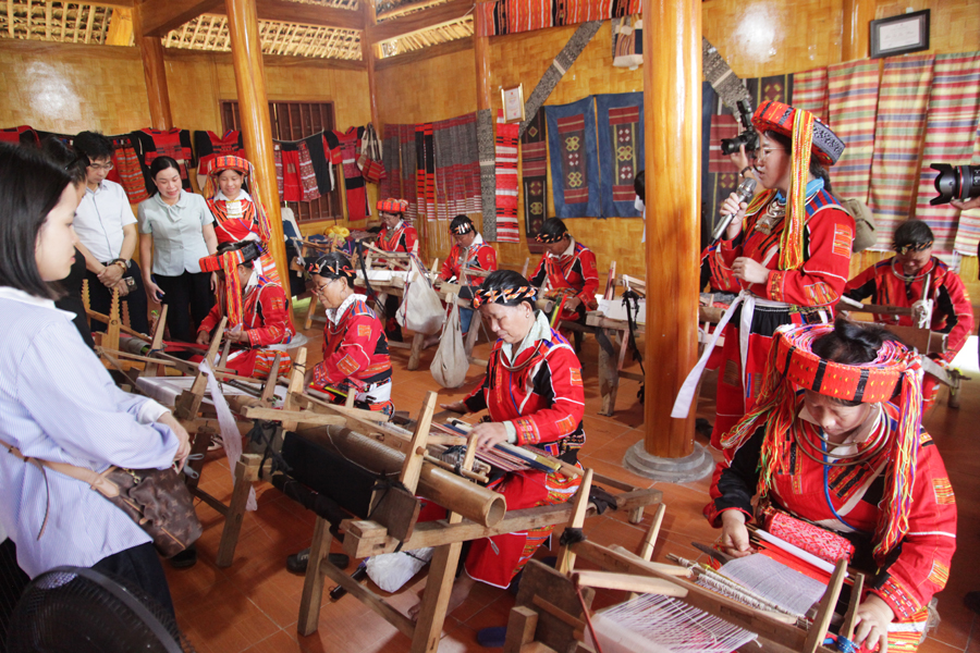
* Ethnic groups: Tuyen Quang has 22 ethnic groups living together, of which over 52% are ethnic minorities such as the Tay ethnic group, 25.45%; Dao ethnic group 11.38%; San Chay ethnic group accounts for 8.0%; Mong people account for 2.16%; Nung ethnic group accounts for 1.90%, San Diu ethnic group accounts for 1.62%, other ethnic minorities account for 1.28%.
2. Administration
Tuyen Quang has 7 administrative units including 1 city (Tuyen Quang city) and 6 districts (Son Duong, Yen Son, Ham Yen, Chiem Hoa, Na Hang and Lam Binh).
2.1 Tuyen Quang City
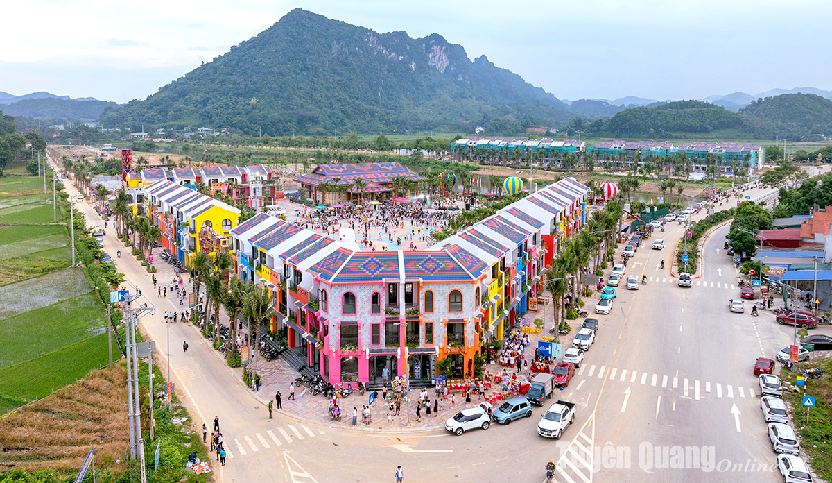
Tuyen Quang City is shielded by high mountains, interspersed by many low hills. East, North and West borders Yen Son district; Son Duong district to the southeast. The city center is located on both sides of Lo River, including 13 communes and wards with an area of 119.06 km2 and a population of 94,855 people (2015).
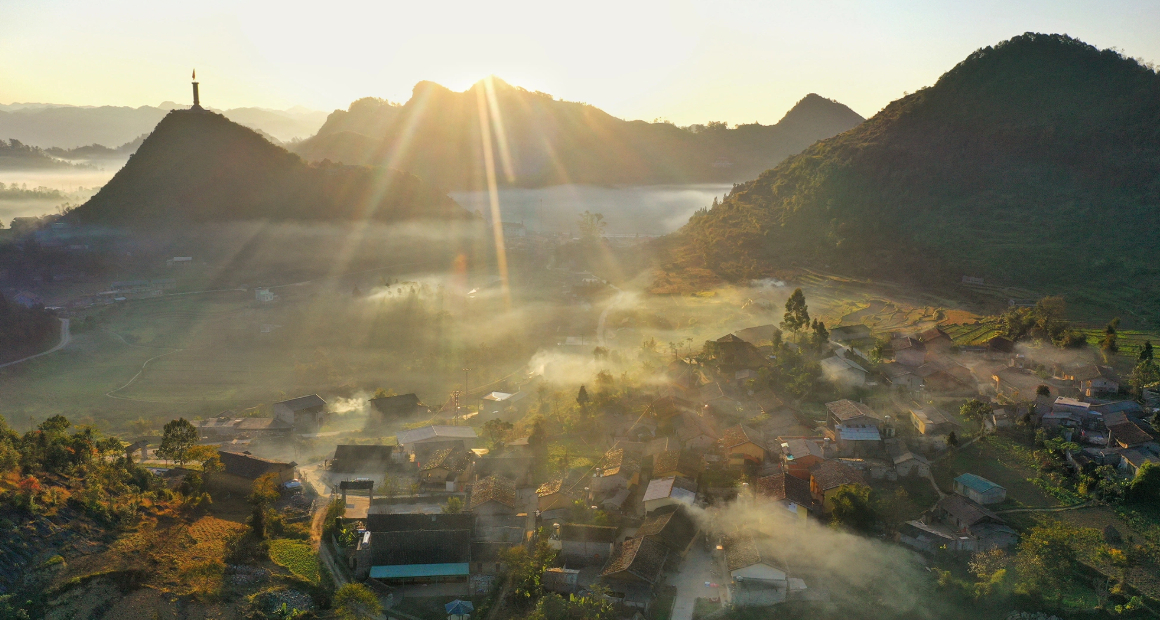
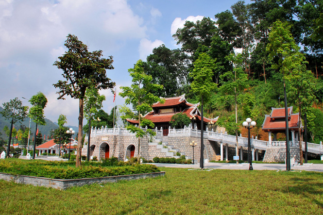
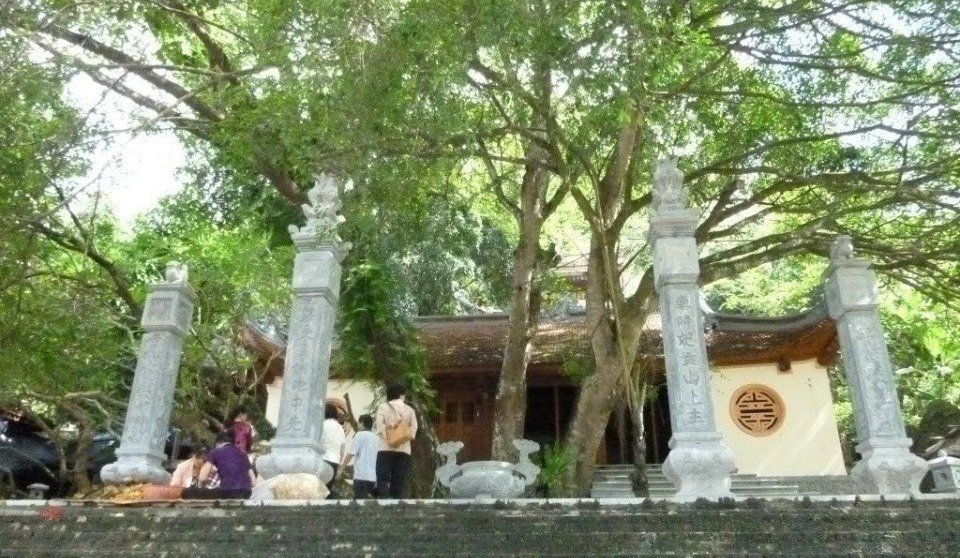
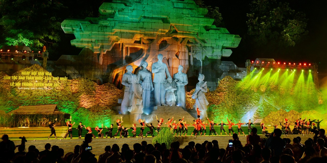
Tuyen Quang City is the cultural, economic and political center of Tuyen Quang province. The city has 59 cultural and historical sites and 4 unique festivals every year including: Boat racing festival, Huong Nghiem pagoda festival (Hang pagoda), Mau Temple procession festival and Thanh Tuyen festival (festival) Street). Among them are 18 temple sites that have become a strong point in developing the city's cultural and spiritual tourism. Especially, the monument "Uncle Ho with people of all ethnic groups in Tuyen Quang province" and the temple of President Ho Chi Minh at Nguyen Tat Thanh Square was inaugurated in 2015, having important political significance and at the same time. This is a unique cultural and architectural work that expresses the affection of the people of Tuyen Quang province and the beloved Uncle Ho.
2.2 Son Duong district
Son Duong district is located in the southern part of Tuyen Quang province, with a total natural area of 787.95 km² and a population of 179,499 people, including 33 administrative units including 1 Son Duong town and 32 communes. Son Duong is proud to have Tan Trao special national historical and historical site associated with the activities of President Ho Chi Minh, the Party Central Committee, the Government, the National Assembly, the Fatherland Front, ministries, departments and branches; The milestone of the country in the period of preparation for the General uprising to seize power in August 1945 and during the resistance war against the French invaders, was the capital of the Liberation Zone - the capital of resistance.
2.3 Yen Son district
Yen Son district is located around Tuyen Quang city with a total natural area of 1,133.01 km², population of 165,908 people, and 30 administrative units attached. The district has many historical and cultural relics such as: Lao revolutionary historical site (Lang Ngoi - Da Ban), Dinh Gieng Tanh Communal House, Pho Linh Pagoda, ATK Kim Quan Relic Site ... and Hot mineral spring tourist area. My Lam.
2.4 Ham Yen district
Ham Yen district is located in the North of the province, with a total natural area of 900.55 km², population of 115,026 people, and 18 subordinate administrative units. Tan Yen town is the center of the district capital, located on Highway 2, about 40 km northwest of Tuyen Quang city, the district is also the place where Lo river flows. Ham Yen district has the Dong Tien national landscape and Cao Duong eco-tourism site.
2.5 Chiem Hoa district
Chiem Hoa district is located in the North of the province with a natural area of 1,278.83 km², a population of over 129,836 people, 25 communes and 1 town. Chiem Hoa district is famous for the Kim Binh historic site where the Second National Congress of the Party was held - this is the first Party Congress held in the country and is also the only place where the Congress. is now held in a locality outside Hanoi Capital; The district is also famous for the scenic beauty of Ban Ba waterfall. Together with Na Hang, Lam Binh and Chiem Hoa districts, the center is preserving, preserving and promoting the value of the unique national intangible cultural heritage of the Then Ritual and the Toong Tong Festival of the Tay people.
2.6 Na Hang district
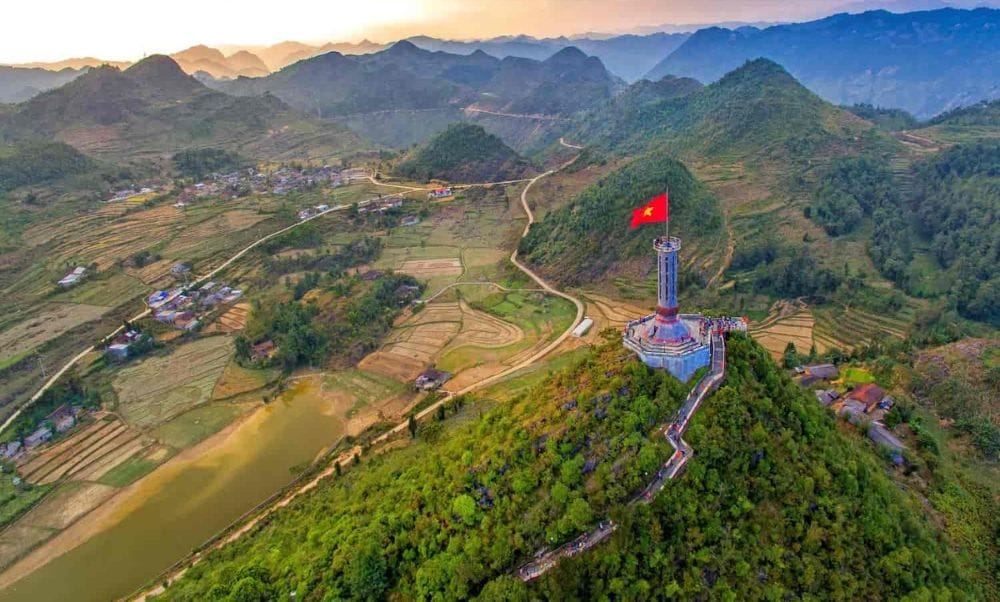
As a highland district, 110km from the center of the province, with an area of 863.53 km2 and a population of 43,964 people, the district has 12 administrative units attached. The district has the fourth largest Tuyen Quang Hydroelectric Plant in the country; Na Hang eco-tourism area with an area of up to 15,000 ha, Tat Ke-Ban Bung nature reserve has many rare and precious plants and animals recorded in the Red Book of the World. Na Hang, in addition to the strange attraction of an ecological region, has a diverse and rich cultural identity of many ethnic groups: Tay, Dao, Mong, Kinh ... with Then, Sli, Gliding ... along with the sound of Tinh, singing Pao dung captivates people. Na Hang is also a "Center" (core area) that preserves and preserves the values of the national intangible cultural heritage: Sacrifice ceremony, Pao dung song of the Dao ethnic group.
2.7 Lam Binh district
Lam Binh district has 784.97 km2 of natural area and 31,201 people; There are 08 attached administrative units. Lam Binh has 6 national cultural and historical sites such as Song Long Cave, Me Me Waterfall, Khuoi Nhi Waterfall, Khuoi Gun Waterfall, most notably 99 mountains in Thuong Lam Commune called "Ha Long beach. in the middle of the thousands, "there is an archaeological site of Phia Vai cave with primitive fossil remains dating back about 12,000 years old and Lam Binh is also known as one of the cradles of ancient Vietnamese people.